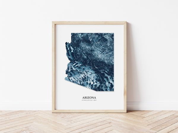
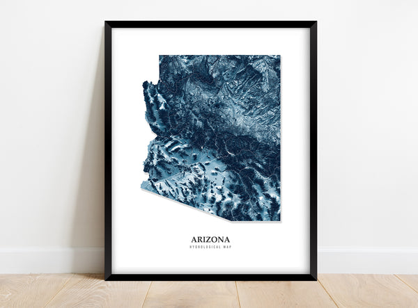
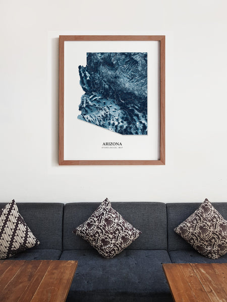
Arizona Hydrological Map Poster Blue
This hydrological map makes a great gift for the engineer, hydrologist, hiker, or nature lover in your life! The background of the hydrological map is a shaded relief model of the State of Arizona.
Hydrological maps depict how water carves through the landscape. This map is a detailed illustration of the intermittent streams, creeks, and rivers that flow through the State of Arizona. The thickness of the lines is based on the Strahler Stream Order, which classifies streams based on the number of its tributaries.
ABOUT THE PRINT
- This map is printed on 175 gsm fine art paper.
- This poster is printed on museum-grade paper that is known to be archival, which means this map print can be stored for a long time without turning yellow.
- The map has a matte finish that avoids glare in almost any lighting.
- This map is available in multiple sizes.
- Suitable for indoor use.
- Prints are hand-rolled in protective tissue paper and shipped in extra-thick cardboard tubes.
- The frame is NOT included!
SHIPPING & PROCESSING TIMES
There is no additional charge for shipping. Residents of the United States can expect to receive their maps within 10-14 days. Maps spend two to seven days in production and are shipped with UPS Mail Innovations. UPS Mail Innovations is a combined effort between the United Parcel Service (UPS) and the United States Postal Service (USPS). With UPS Mail Innovations, packages are picked up by UPS and delivered to you by USPS. Package tracking is available after an order is placed.


